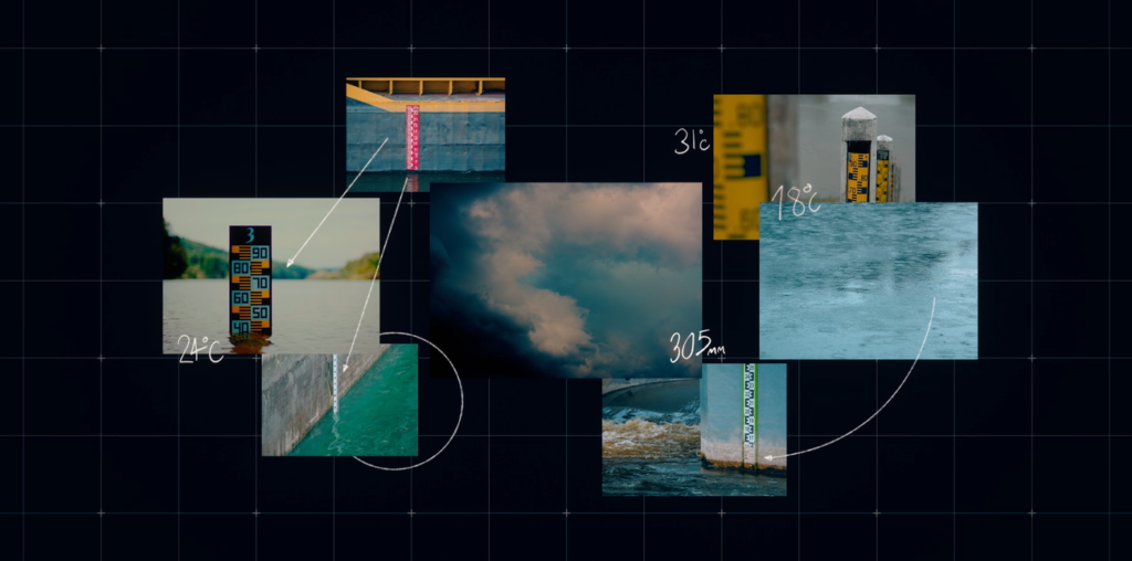
Devastating floods cause tragic casualties, widespread displacement and immense financial loss every year. To help governments, NGOs, global organizations and vulnerable communities take action, we’ve worked on breakthrough AI research to provide accurate flood information and bolster climate resiliency. Our team at Google Research has pioneered scalable global flood forecasting models, published in Nature, that bring near real-time data to aid organizations and communities around the world.
Today, in line with our mission to use AI to make flood forecasting information globally accessible, we’re announcing a series of expansions. These announcements include:
- Expanding coverage of our AI-powered riverine flood forecasting model to 100 countries (up from 80) in areas where 700 million people live (up from 460 million).
- An improved flood forecasting model — which builds upon our breakthrough model — that has the same accuracy at a seven-day lead time as the previous model had at five days.
- Making our model forecasts available to researchers and partners via an upcoming API and our Google Runoff Reanalysis & Reforecast (GRRR) dataset.
- Providing researchers and experts with expanded coverage — based on “virtual gauges” for locations where data is scarce — via an upcoming API, the GRRR dataset, as well a new expert data layer on Flood Hub with close to 250,000 forecast points of our Flood Forecasting model, spread over 150 countries.
- Making historical datasets of our flood forecasting model available, to help researchers understand and potentially reduce the impact of devastating floods.
These expansions will bring more information on riverine floods to millions of people across the globe, as well as more data to researchers and partners.
Expanding flood forecasting coverage to reach more countries and more people
With this expansion of our AI-powered riverine flood forecasting model, we’re now covering more than 100 countries — up from 80. This enables us to provide critical flood information to 700 million people worldwide, a considerable leap from our previous reach of 460 million. This expansion is possible because of recent research advances that have made our model more accurate than ever before. These advances include using more labeled data, three times as many locations when training our models, a new model architecture that makes our model much more robust, and adding a new weather forecasting model as input to the flood forecasting model. Read more in our Research blog.
Now, more communities will have timely access to flood information, enhancing preparedness and response efforts for millions around the world, both through sharing information on Google Search and Google Maps, and our Google Flood Hub.
Making flood forecasting data available for experts and researchers in more ways and more places
We are now making our breakthrough flood forecasting model forecasts, with improved accuracy, reliability, and coverage, available to researchers and partners via GRRR, and via an upcoming API.
Our new API pilot program — created with leading organizations — is now accepting signups to our waitlist so that partners can indicate their interest today. The API will give researchers and practitioners access to our hydrologic forecasts and the expected flood status, including data in areas where the availability of local data is limited, in order to accelerate flood research and response faster.
While our global hydrologic model is able to provide discharge predictions at any point on Earth, in Flood Hub we are only showing forecasts at points with gauges where we can verify the accuracy of the model using historical data from reliable sensors that measure streamflow. However, much of the world doesn’t have such reliable sensors. So we’re adding an additional data layer to Flood Hub by including 250,000 forecast points from our Flood Forecasting model using “virtual gauges.” This allows us to share additional flood forecasting information with researchers and experts in more than 150 countries — including countries where physical gauges are not available. This will help provide an additional layer of data for experts and researchers in locations that have not had access to reliable forecasts in the past.

