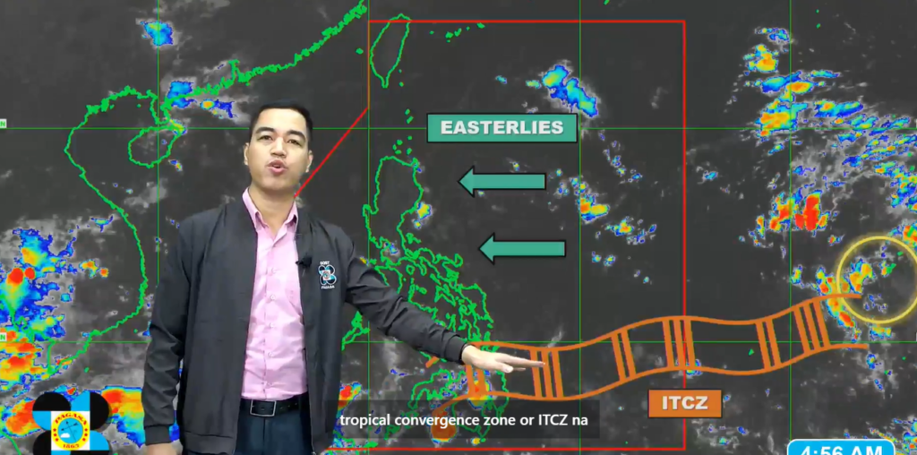
The Intertropical Convergence Zone (ITCZ) is causing rainfall over Mindanao and Palawan, while the easterlies are affecting Luzon, particularly its eastern regions.
In southern Palawan and parts of Mindanao, including the Zamboanga Peninsula, Bangsamoro, SOCCSKSARGEN, and Davao regions, intermittent heavy rainfall may lead to potential floods and landslides. The rest of Mindanao and central and northern Palawan will see isolated thunderstorms in the afternoon and evening.
Meanwhile, the easterlies are bringing partly cloudy to cloudy skies to Cagayan Valley, Aurora, Quezon, and the Bicol Region, with scattered rain showers expected later in the day. Metro Manila and other parts of Luzon will experience mostly sunny weather with brief isolated thunderstorms in the afternoon or evening.
A low-pressure area (LPA) has formed over the Pacific Ocean, east of Visayas, but remains outside the Philippine Area of Responsibility (PAR). It is not expected to enter the PAR or develop into a tropical cyclone within the next 24 hours.
As the weekend approaches, stronger winds may cause rough seas along the coasts of Northern Luzon and the eastern seaboards of Central and Southern Luzon.
By early next week, the LPA may enter PAR and could develop into a tropical cyclone, affecting Mindanao and Palawan.
Residents in affected areas are advised to remain alert for potential floods and landslides, especially in Mindanao and Palawan, where continuous rainfall is expected.

